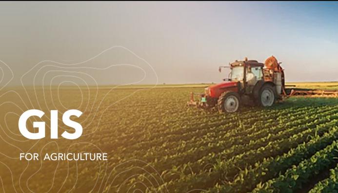
Geographic Information Systems (GIS) has become an indispensable tool in agriculture and farming operations. It enables farmers to manage their operations more efficiently, optimize their resources, and improve the quality of their products. GIS provides farmers with a visual representation of data and information related to their land, crops, and resources, which can be used to make informed decisions.
GIS can be used to create maps of crop production, soil fertility, and land use, which helps farmers to allocate resources more effectively and optimize their operations. It can also be used to track the movement of animals, vehicles, and equipment, and manage the distribution of feed and water. GIS can also help farmers to monitor and manage the impact of climate change on their operations. Climate data, such as temperature and rainfall, can be integrated into GIS to create maps of the potential impact of extreme weather conditions on crop production.
GIS can also help farmers to monitor and respond to pests and diseases that can impact crop production. By visualizing data and information related to the spread of pests and diseases, farmers can make informed decisions on how to manage their crops and protect their production.